 HOME
HOME 3D RENDERING
 3D SCANNING
 XR DEVELOPMENT
Matterport Tours for Heritage Buildings
We create 3D virtual Matterport tours for historical buildings and heritage sites across Australia. Capture a digital twin of an historical asset using the latest LIDAR property scanning technology.
Heritage Buildings 3D Scanning

More 3D Virtual Tour options…
We’re in your backyard!
We operate nationwide across Australia with the biggest network of operators in the country.
Just give us a call on 1300 00 3392 or contact us here for an instant quote and to get booked in.

3D VIRTUAL TOURS <500 SQM $500 NATIONWIDE
BOOK NOWBenefits of using 3D virtual tours for heritage buildings & historical sites
3D virtual tours provide a digital record of the building’s architecture, ensuring the preservation of its historical features and details for future generations.
Virtual tours make heritage buildings and historical sites accessible to a wider audience, including individuals with mobility challenges or geographical limitations.
Visitors can explore the building in a highly immersive and interactive way, gaining a deeper understanding of its historical significance and cultural value.
3D virtual tours serve as a comprehensive visual documentation of the building, capturing its current state and details that may change over time.
Virtual tours offer an educational experience, allowing users to learn about the building’s history, architectural style, and the stories associated with it.
Virtual tours enable people from anywhere in the world to explore heritage buildings and historical sites without the need for physical travel.
Scholars, researchers, and students can utilize virtual tours as valuable resources for studying architectural elements, historical contexts, and spatial layouts.
Virtual tours assist in conservation efforts by providing accurate and detailed information about the building’s condition and areas that require preservation or restoration.
Virtual tours attract visitors by showcasing the unique charm and cultural significance of heritage buildings, contributing to tourism and local economies.
Virtual tours eliminate the need for physical visits and associated travel expenses, allowing individuals and organizations to explore multiple heritage sites conveniently and economically.
A Powerful Suite of Features
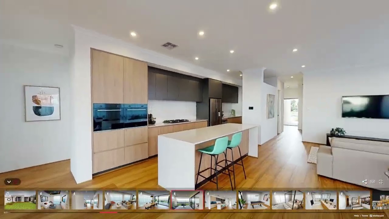
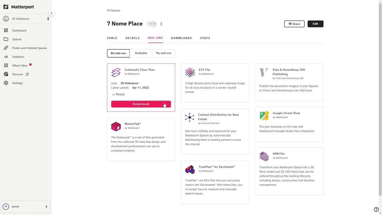
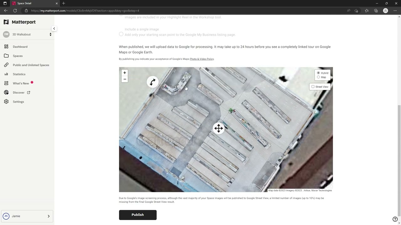
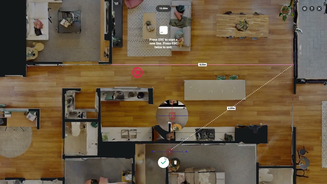
Transform how you market and manage your properties with Matterport’s twin digital platform.
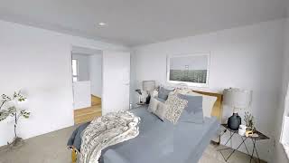

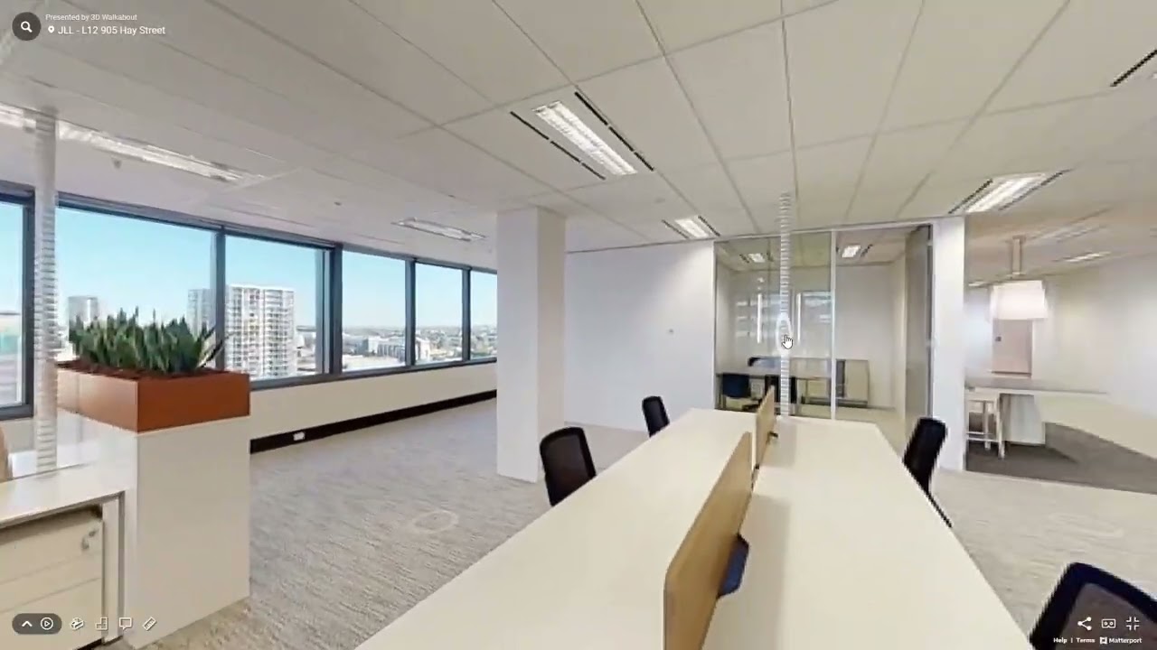
How Matterport 3D tours are currently being used by heritage listed buildings in Australia
Matterport 3D tours have gained traction among heritage listed buildings in Australia as a means of preserving and showcasing their architectural and historical significance. Many heritage sites have embraced this technology to offer immersive and interactive experiences to visitors, researchers, and enthusiasts.
These 3D tours allow users to explore heritage buildings virtually, providing a detailed and accurate representation of their unique features. By capturing 360-degree scans and high-resolution imagery, Matterport tours enable viewers to examine intricate architectural details, historical artifacts, and period furnishings with remarkable clarity.
Heritage listed buildings in Australia utilise Matterport 3D tours to enhance accessibility, ensuring that individuals who may face physical limitations or geographic constraints can still engage with these cultural landmarks. Remote visitors can virtually wander through grand halls, intricate chambers, and elaborate facades, experiencing the rich history and cultural heritage of the buildings.
Matterport 3D tours also serve as valuable educational tools, offering informative annotations, audio guides, and interactive features. They provide a platform for storytelling, where historical narratives and anecdotes can be incorporated to enhance the visitor’s understanding and appreciation of the site’s significance.
Furthermore, these virtual tours are employed for conservation and preservation purposes. By capturing the current state of the heritage buildings, they assist in documenting architectural features, identifying areas that require restoration, and supporting conservation planning efforts.
Matterport 3D tours have become instrumental in the preservation, education, and accessibility of heritage listed buildings in Australia. By embracing this technology, these sites can engage a wider audience, showcase their historical value, and contribute to the conservation and appreciation of the country’s rich cultural heritage.
Book Your Matterport 3D Scan
Get pricing, timelines, and expert advice for your Matterport project.
From immersive 3D virtual tours to fully detailed digital twins, we deliver fast, accurate Matterport scans using the latest Pro3 technology. Fill out the form to get our Matterport pricing guide and see exactly how your project will work — from capture through to final delivery. Or call us on 1300 00 3392 to get started today.
Our Recent Projects
-
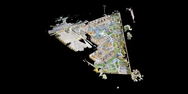 Childcare 3D Virtual Tour | 21 McIntyre St Matterport See how a full 2400 sqm childcare site was captured with a high-quality 3D virtual tour
 -
 AMS Constructions TerryWhite Chemmart Beenleigh 3D Tour Discover how AMS Constructions delivered fast-turnaround Matterport 3D scans for TerryWhite Chemmart Beenleigh, managing multiple sites, tight schedules,
 -
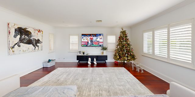 Campbell Architecture | Matterport Scan of Claremont Property 3D Walkabout captured a Matterport scan of a Claremont home, giving Campbell Architecture a digital twin they
 -
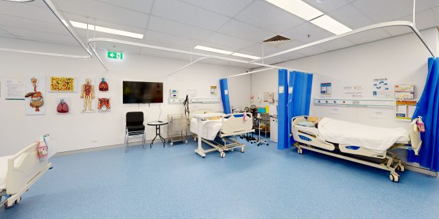 Health Careers International | Virtual Tour of IHNA Brisbane Campus 3D Walkabout captured IHNA’s Brisbane campus using Matterport, delivering a clean, self-guided virtual tour with
 -
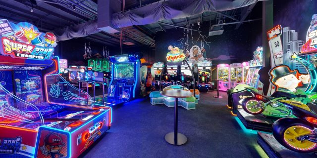 Varsity Cannington Virtual Tour | Matterport for Hospitality Venues We delivered a detailed Matterport tour of Signature Hospitality’s Varsity Cannington, showcasing key feature areas and
 -
 TSA Riley | Matterport Virtual Tour of Aged Care Facilities 3D Walkabout captured fully operational aged care buildings for TSA Riley using Matterport, creating a
Frequently Asked Questions
What is an as-built survey and how does 3D laser scanning help?
An as-built survey documents the exact dimensions and layout of an existing building or structure. Using 3D laser scanning, millions of measurement points are captured to create an accurate digital representation of the space. This data can then be used to produce BIM models, CAD drawings, floor plans and point cloud datasets, helping architects and engineers design renovations or new works with confidence.
What is the difference between LiDAR scanning and photogrammetry?
LiDAR scanning uses laser sensors to measure distances and capture millions of highly accurate spatial points, creating a precise 3D point cloud of a building or environment. Photogrammetry uses overlapping photographs to reconstruct 3D models, which can be useful for visualisation but is generally less accurate for measurement. For architectural surveys, construction planning and Scan-to-BIM projects, LiDAR scanning is typically preferred because it delivers higher accuracy and more reliable spatial data.
How much does a 3D laser scanning project cost?
The cost of a 3D scanning project depends on several factors including site size, building complexity, deliverables required and the type of scanner used. Smaller projects may be completed for a few thousand dollars, while larger commercial or infrastructure projects require more extensive capture and modelling work. A tailored quote is typically provided after reviewing the project scope.
Can 3D scanning be used for renovations and refurbishment projects?
Yes. Laser scanning is widely used to create accurate existing-conditions documentation before renovation or refurbishment work begins. By capturing the building geometry in detail, designers and contractors can reduce measurement errors, improve coordination and avoid costly rework during construction.
Do you provide 3D laser scanning services across Australia?
Yes. 3D Walkabout operates scanning teams across major Australian cities including Sydney, Melbourne, Brisbane, Perth and Adelaide, and can deploy to regional and remote locations nationwide. Our team regularly works on projects ranging from single buildings to large industrial and infrastructure sites.
What is Scan-to-BIM modelling?
Scan-to-BIM is the process of converting laser scanning data into a Building Information Model (BIM). Using the captured point cloud, specialists create detailed digital models of the building in software such as Autodesk Revit. These models can include architectural, structural and MEP elements depending on the required Level of Development (LOD).
What is a point cloud and how is it used?
A point cloud is a digital dataset made up of millions of measured points that represent the exact geometry of a building or environment. These datasets allow architects, engineers and contractors to analyse existing conditions and create accurate models. Point clouds are commonly used as the foundation for Scan-to-BIM and as-built documentation.
What deliverables do you receive after a 3D scanning project?
Typical deliverables include registered 3D point cloud datasets, BIM models, CAD drawings, panoramic imagery and digital walkthroughs. Files can be provided in formats such as RCS/RCP, E57, Revit models and DWG drawings so they integrate easily into common design and construction software.
How long does a 3D laser scanning project take?
The time required depends on the size and complexity of the site. Smaller buildings can often be captured in a few hours, while larger commercial or industrial sites may take one or more days of scanning. Once the data is captured, processing and deliverables such as point clouds or BIM models are typically delivered within several business days.
What types of buildings and spaces can be scanned?
3D laser scanning can be used on almost any built environment including residential buildings, commercial offices, retail centres, industrial warehouses, hospitals, schools, infrastructure sites and heritage buildings. Large facilities such as campuses, factories and shopping centres can also be scanned using mobile LiDAR technology.
How accurate is LiDAR scanning for construction projects?
Modern terrestrial laser scanners can capture measurements with millimetre-level accuracy, depending on the equipment used. Survey-grade scanners such as the Leica RTC360 can achieve accuracy of around ±1.9 mm at 10 metres. This level of precision makes laser scanning suitable for architectural surveys, construction verification, and detailed BIM modelling.
What is 3D laser scanning for buildings?
3D laser scanning is a reality capture technology that uses LiDAR sensors to measure buildings and environments with millions of precise data points. The result is a highly detailed 3D point cloud that represents the exact geometry of the space. This data can then be used for Scan-to-BIM modelling, CAD drawings, digital twins, and building documentation.