 HOME
HOME 3D RENDERING
 3D SCANNING
 XR DEVELOPMENT
Hobart Matterport 3D Virtual Tours
Looking for Matterport 3D virtual tours or other advanced 3D scanning services in Hobart? We help businesses across various industries bring their spaces and projects to life offering immersive tours, accurate scan-to-BIM documentation, drone mapping, and more. Get in touch to book your Hobart 3D scanning solution.
3D Matterport Tours Hobart
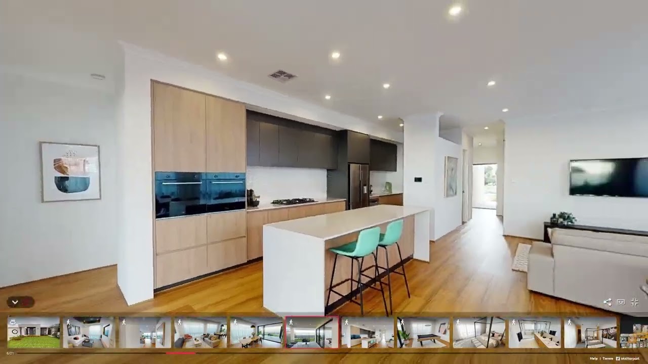
Businesses in Hobart are embracing the power of 3D scanning technology particularly immersive Matterport virtual tours—to showcase their spaces in more dynamic and accessible ways. These tours offer a realistic, walk-through experience that allows customers to explore locations as if they were there in person, which is ideal in today’s digitally driven world. For real estate professionals, it’s a smarter way to present homes and commercial properties online, helping buyers and tenants get a true feel for the space before setting foot inside. Local cafés, boutique hotels, and event venues can highlight their atmosphere and layout, giving guests the confidence to book. Tourist attractions, art galleries, and schools are also using 3D tours to deliver engaging, interactive experiences to both local and global audiences. In addition to virtual tours, our 3D scanning services—including Scan to BIM and drone mapping—help Hobart businesses document, plan, and manage physical spaces with precision. Whether you’re selling, promoting, or designing, 3D technology gives your business a modern edge in capturing attention and building trust.
Real Estate
Matterport virtual tours are a powerful tool for the Hobart real estate market. They allow prospective buyers and renters to view properties from anywhere, making the process more efficient and accessible. By offering an interactive, high-quality walkthrough, agents can highlight the unique layouts, finishes, and charm that define Hobart’s residential and commercial spaces. This technology not only saves time but also broadens reach and boosts interest in each listing.
Offices
Matterport tours make it easier to market office spaces in Hobart. They let potential tenants explore layouts and features online, offering a realistic view without the need for site visits. This boosts exposure, saves time, and helps attract serious enquiries in a competitive commercial market.
Hospitality Venues
In Hobart’s hospitality scene, Matterport virtual tours offer a powerful way to showcase venues. They let potential customers explore the space online, giving a true sense of the atmosphere and setup before visiting. This helps boost interest, streamline bookings, and highlight what makes each venue unique—whether it’s a cosy café, stylish bar, or large event space.
Industrial Spaces
For industrial properties in Hobart, 3D virtual tours offer a practical way to present large and complex spaces. Potential tenants or investors can assess infrastructure, layout, and equipment without needing to be on-site. This not only saves time but also broadens reach and supports faster, more informed decisions in today’s competitive market.
Retail Stores
Retail businesses in Hobart can use 3D virtual tours to give customers a real feel of their store before they visit. It’s a great way to show off layout, product displays, and atmosphere—right from a phone or computer. This helps attract more interest, boosts in-store visits, and improves the overall shopping experience.
Gyms
Giving potential members a clear look inside, 3D virtual tours are a great way for Hobart gyms to showcase their space. From equipment to amenities, people can explore everything online before deciding to join. It helps build confidence, saves time, and can lead to more membership sign-ups by highlighting what makes your fitness centre stand out.
Child Care Venues
Matterport virtual tours make it easier for Hobart child care centres to connect with families. By offering a clear view of classrooms, play areas, and safety features, parents can explore the environment from home. This builds trust, saves time, and supports confident decision-making—ultimately helping increase enrolments and showcase the centre’s warm, child-friendly spaces.
Book a 3D scan or virtual tour in Hobart today!
To book a Matterport tour in Hobart call us on 1300 00 3392 or contact us here.
Just some of the many suburbs we service in Hobart…
More 3D Virtual Tour options…
The benefits of using Hobart 3D virtual tours to market your company’s space
Present your business or project with engaging, lifelike 3D visuals that bring your space or design to life.
Let customers, clients, or stakeholders explore your location virtually—anytime, from anywhere.
Reduce the need for multiple on-site visits, saving time and resources for both staff and visitors.
Provide remote access for people outside Hobart or those with mobility limitations.
Improve accessibility with a fully navigable digital experience, including VR compatibility and guided tours.
Reach new audiences who may not have discovered your space through traditional marketing.
Build trust by offering a transparent, detailed look into your space, services, or project.
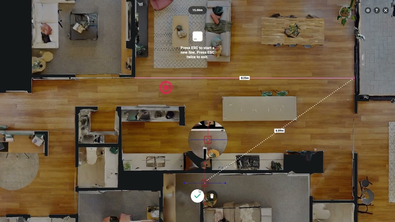
Add value with interactive elements like tags, floor plans, and embedded media.
Stand out in the Hobart market with cutting-edge visual tools used by leaders in real estate, tourism, education, and construction.
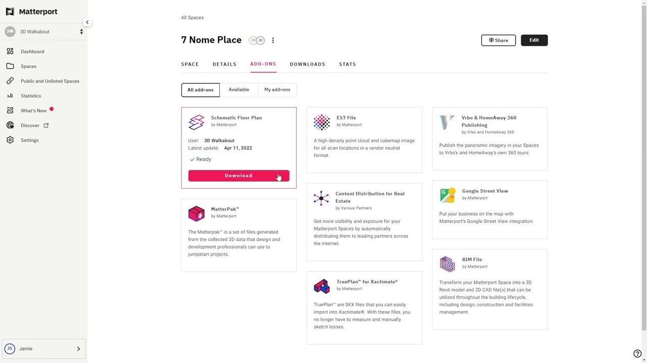
Support asset management and planning with downloadable data, BIM integration, and accurate measurements.
A Powerful Suite of Features
Transform how you market and manage your properties with Matterport’s twin digital platform.
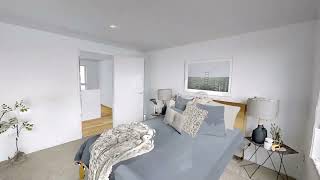

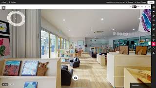
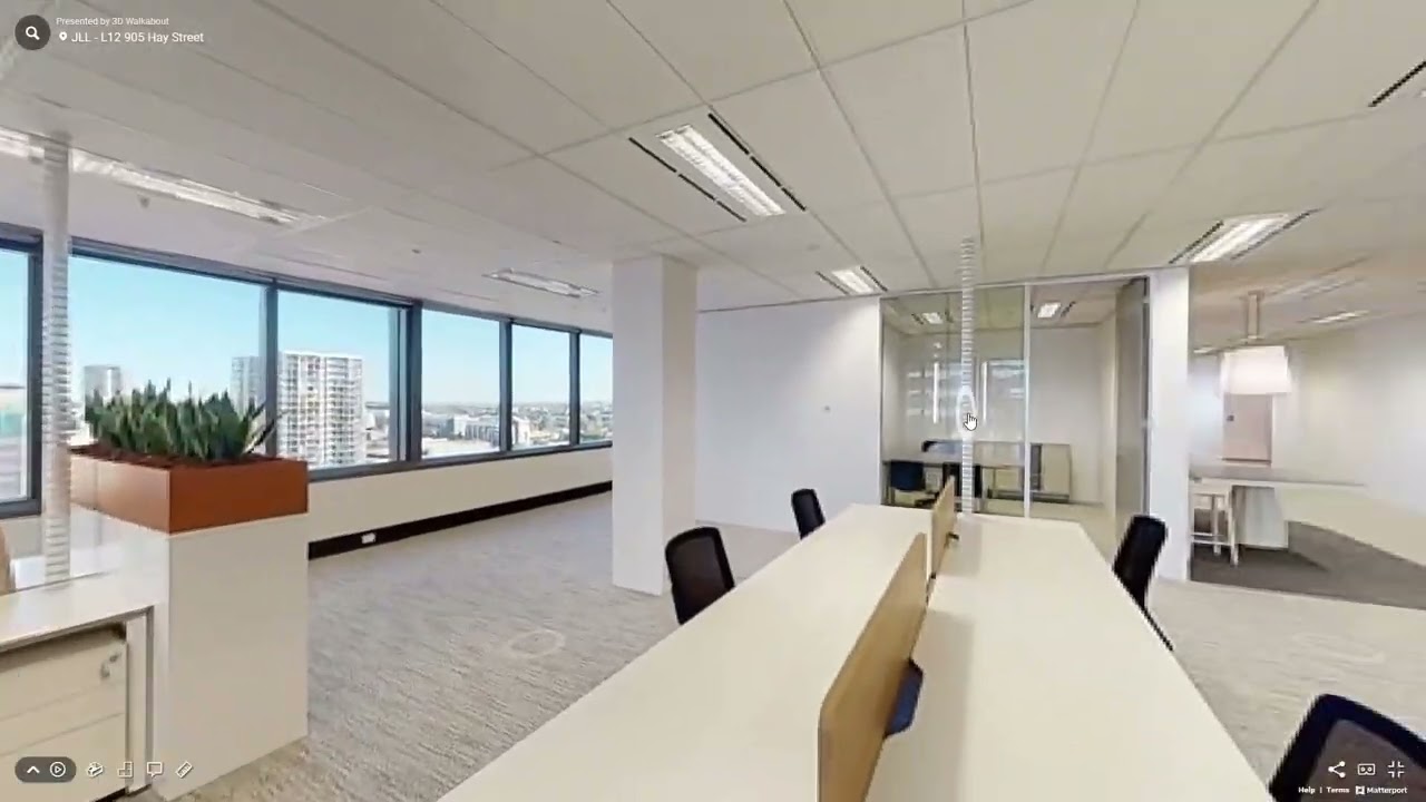
How are 3D virtual tours being used by businesses in Hobart?
Real estate agents use virtual tours to help buyers and renters explore properties remotely, saving time and broadening reach. Hotels, cafés, and restaurants highlight their ambiance to boost bookings and build trust with guests.
Museums, galleries, and schools are using 3D tours to make their spaces more accessible to a wider audience, including international visitors. In construction and design, professionals use Matterport to document projects and visually present work to clients.
Whether you’re marketing a property, promoting a venue, or showcasing a completed project, 3D virtual tours offer Hobart businesses a powerful, modern way to stand out.
Book Your Matterport 3D Scan
Get pricing, timelines, and expert advice for your Matterport project.
From immersive 3D virtual tours to fully detailed digital twins, we deliver fast, accurate Matterport scans using the latest Pro3 technology. Fill out the form to get our Matterport pricing guide and see exactly how your project will work — from capture through to final delivery. Or call us on 1300 00 3392 to get started today.
Our Recent Projects
-
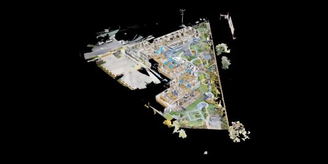 Childcare 3D Virtual Tour | 21 McIntyre St Matterport See how a full 2400 sqm childcare site was captured with a high-quality 3D virtual tour
 -
 AMS Constructions TerryWhite Chemmart Beenleigh 3D Tour Discover how AMS Constructions delivered fast-turnaround Matterport 3D scans for TerryWhite Chemmart Beenleigh, managing multiple sites, tight schedules,
 -
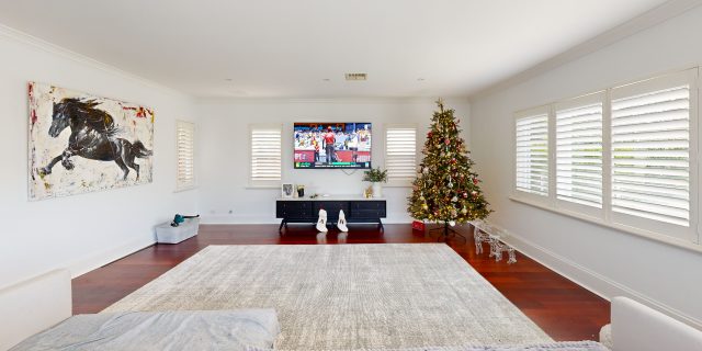 Campbell Architecture | Matterport Scan of Claremont Property 3D Walkabout captured a Matterport scan of a Claremont home, giving Campbell Architecture a digital twin they
 -
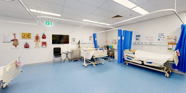 Health Careers International | Virtual Tour of IHNA Brisbane Campus 3D Walkabout captured IHNA’s Brisbane campus using Matterport, delivering a clean, self-guided virtual tour with
 -
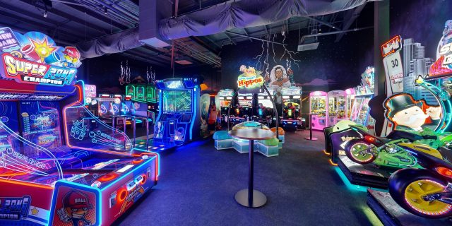 Varsity Cannington Virtual Tour | Matterport for Hospitality Venues We delivered a detailed Matterport tour of Signature Hospitality’s Varsity Cannington, showcasing key feature areas and
 -
 TSA Riley | Matterport Virtual Tour of Aged Care Facilities 3D Walkabout captured fully operational aged care buildings for TSA Riley using Matterport, creating a
Frequently Asked Questions
What is an as-built survey and how does 3D laser scanning help?
An as-built survey documents the exact dimensions and layout of an existing building or structure. Using 3D laser scanning, millions of measurement points are captured to create an accurate digital representation of the space. This data can then be used to produce BIM models, CAD drawings, floor plans and point cloud datasets, helping architects and engineers design renovations or new works with confidence.
What is the difference between LiDAR scanning and photogrammetry?
LiDAR scanning uses laser sensors to measure distances and capture millions of highly accurate spatial points, creating a precise 3D point cloud of a building or environment. Photogrammetry uses overlapping photographs to reconstruct 3D models, which can be useful for visualisation but is generally less accurate for measurement. For architectural surveys, construction planning and Scan-to-BIM projects, LiDAR scanning is typically preferred because it delivers higher accuracy and more reliable spatial data.
How much does a 3D laser scanning project cost?
The cost of a 3D scanning project depends on several factors including site size, building complexity, deliverables required and the type of scanner used. Smaller projects may be completed for a few thousand dollars, while larger commercial or infrastructure projects require more extensive capture and modelling work. A tailored quote is typically provided after reviewing the project scope.
Can 3D scanning be used for renovations and refurbishment projects?
Yes. Laser scanning is widely used to create accurate existing-conditions documentation before renovation or refurbishment work begins. By capturing the building geometry in detail, designers and contractors can reduce measurement errors, improve coordination and avoid costly rework during construction.
Do you provide 3D laser scanning services across Australia?
Yes. 3D Walkabout operates scanning teams across major Australian cities including Sydney, Melbourne, Brisbane, Perth and Adelaide, and can deploy to regional and remote locations nationwide. Our team regularly works on projects ranging from single buildings to large industrial and infrastructure sites.
What is Scan-to-BIM modelling?
Scan-to-BIM is the process of converting laser scanning data into a Building Information Model (BIM). Using the captured point cloud, specialists create detailed digital models of the building in software such as Autodesk Revit. These models can include architectural, structural and MEP elements depending on the required Level of Development (LOD).
What is a point cloud and how is it used?
A point cloud is a digital dataset made up of millions of measured points that represent the exact geometry of a building or environment. These datasets allow architects, engineers and contractors to analyse existing conditions and create accurate models. Point clouds are commonly used as the foundation for Scan-to-BIM and as-built documentation.
What deliverables do you receive after a 3D scanning project?
Typical deliverables include registered 3D point cloud datasets, BIM models, CAD drawings, panoramic imagery and digital walkthroughs. Files can be provided in formats such as RCS/RCP, E57, Revit models and DWG drawings so they integrate easily into common design and construction software.
How long does a 3D laser scanning project take?
The time required depends on the size and complexity of the site. Smaller buildings can often be captured in a few hours, while larger commercial or industrial sites may take one or more days of scanning. Once the data is captured, processing and deliverables such as point clouds or BIM models are typically delivered within several business days.
What types of buildings and spaces can be scanned?
3D laser scanning can be used on almost any built environment including residential buildings, commercial offices, retail centres, industrial warehouses, hospitals, schools, infrastructure sites and heritage buildings. Large facilities such as campuses, factories and shopping centres can also be scanned using mobile LiDAR technology.
How accurate is LiDAR scanning for construction projects?
Modern terrestrial laser scanners can capture measurements with millimetre-level accuracy, depending on the equipment used. Survey-grade scanners such as the Leica RTC360 can achieve accuracy of around ±1.9 mm at 10 metres. This level of precision makes laser scanning suitable for architectural surveys, construction verification, and detailed BIM modelling.
What is 3D laser scanning for buildings?
3D laser scanning is a reality capture technology that uses LiDAR sensors to measure buildings and environments with millions of precise data points. The result is a highly detailed 3D point cloud that represents the exact geometry of the space. This data can then be used for Scan-to-BIM modelling, CAD drawings, digital twins, and building documentation.