 HOME
HOME 3D RENDERING
 3D SCANNING
 XR DEVELOPMENT
Industrial Laser Scanning Services
Capture Complex Industrial Facilities with High Precision
Industrial facility laser scanning
Industrial facilities are often extremely complex environments containing machinery, pipework systems, structural components and mechanical infrastructure. Accurately documenting these environments is essential for engineering planning, plant upgrades and maintenance projects. Traditional surveying methods can be difficult and time-consuming in these environments due to restricted access, safety concerns and the complexity of the equipment being documented.
Industrial laser scanning provides a powerful solution by capturing millions of spatial measurements that represent the geometry of the facility. These measurements create a highly detailed point cloud dataset which can be used to generate digital models, engineering drawings and facility documentation. 3D Walkabout provides professional industrial laser scanning services across Australia, helping organisations document complex industrial facilities with exceptional accuracy.
Using high-precision LiDAR scanners, our team captures detailed spatial data from factories, manufacturing plants, processing facilities and energy infrastructure. This data can then be used for engineering design, plant upgrades, maintenance planning and digital twin creation. By capturing accurate digital data of existing facilities, organisations can reduce risk, improve project planning and minimise disruption during plant upgrades.
What is Industrial Laser Scanning
Industrial laser scanning is the process of capturing detailed spatial data from complex industrial environments using LiDAR technology. Laser scanners emit thousands of laser pulses every second to measure distances to surrounding surfaces. These measurements are used to create a dense dataset known as a point cloud, which represents the geometry of the environment in three-dimensional space.
Industrial facilities often contain complex pipework systems, structural steel, equipment installations and mechanical infrastructure. Accurately measuring these environments manually can be extremely difficult and time consuming. Laser scanning allows these environments to be captured quickly and accurately, producing detailed datasets that engineers and designers can use for modelling and analysis.
Once captured, the point cloud data can be used to create:
- BIM models of facilities
- Engineering CAD drawings
- Plant layout documentation
- Digital twin models
These digital datasets provide engineers with reliable information about existing facility conditions before planning upgrades or modifications.

Benefits of Industrial Laser Scanning
Accurate Facility Documentation
Laser scanning captures precise spatial data for industrial environments.
Improved Engineering Planning
Engineers can design upgrades using accurate existing condition data.
Reduced Plant Downtime
Projects can be planned more effectively before implementation.
Enhanced Safety
Laser scanning reduces the need for manual measurements in hazardous environments.
Supports Plant Upgrades
Digital models allow engineers to test design changes before installation.
Improved Asset Management
Facilities can be documented for long-term maintenance and management.
Industrial Laser Scanning Typical Applications

Manufacturing Facilities
Factories and production environments can be documented for engineering planning.

Energy Infrastructure
Power plants and energy facilities require accurate spatial documentation.

Mining Processing Plants
Processing facilities can be captured for maintenance planning.

Chemical Processing Facilities
Complex pipework and equipment layouts can be documented.

Industrial Warehouses
Large warehouse environments can be captured for facility upgrades.

Infrastructure Facilities
Industrial infrastructure such as treatment plants can be documented.
Industrial Laser Scanning Documentation Workflow
Project Planning
Determine scanning strategy and access requirements.
Facility Scanning
Capture millions of spatial measurements across the plant.
Point Cloud Registration
Combine multiple scans into a unified dataset.
Data Processing
Clean and prepare scan data for modelling.
Data Delivery
Deliver point cloud datasets, CAD drawings or BIM models.
Industrial Laser Scanning Deliverables
Registered point cloud datasets
Plant layout CAD drawings
BIM models of facilities
Digital twin models
Engineering documentation
Software & Technology


Start Your 3D Scanning Project
Speak with our team or request our 3D Scanning Information Pack & Price Guide.
Whether you’re planning a reality capture project, need accurate point clouds, BIM modelling, or are exploring digital twin solutions, our team can help. Complete the form below and we’ll send you our 3D Scanning Information Pack & Price Guide, along with details on how our scanning process works and typical project costs. If you’d prefer to talk it through, feel free to call us on 1300 00 3392
Our Recent Projects
-
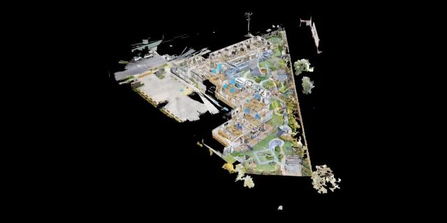 Childcare 3D Virtual Tour | 21 McIntyre St Matterport See how a full 2400 sqm childcare site was captured with a high-quality 3D virtual tour
 -
 AMS Constructions TerryWhite Chemmart Beenleigh 3D Tour Discover how AMS Constructions delivered fast-turnaround Matterport 3D scans for TerryWhite Chemmart Beenleigh, managing multiple sites, tight schedules,
 -
 Campbell Architecture | Matterport Scan of Claremont Property 3D Walkabout captured a Matterport scan of a Claremont home, giving Campbell Architecture a digital twin they
 -
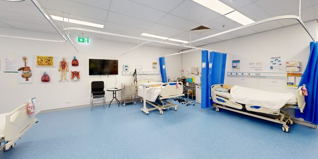 Health Careers International | Virtual Tour of IHNA Brisbane Campus 3D Walkabout captured IHNA’s Brisbane campus using Matterport, delivering a clean, self-guided virtual tour with
 -
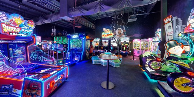 Varsity Cannington Virtual Tour | Matterport for Hospitality Venues We delivered a detailed Matterport tour of Signature Hospitality’s Varsity Cannington, showcasing key feature areas and
 -
 TSA Riley | Matterport Virtual Tour of Aged Care Facilities 3D Walkabout captured fully operational aged care buildings for TSA Riley using Matterport, creating a
Frequently Asked Questions
What is industrial laser scanning?
Industrial laser scanning captures spatial data from complex plant environments using LiDAR scanners.
How accurate is plant scanning?
Laser scanning typically achieves millimetre-level accuracy.
Can laser scanning capture pipework systems?
Yes. Laser scanners capture detailed geometry of pipes, equipment and structural elements.
Can scanning be performed while facilities are operational?
In many cases scanning can be conducted without shutting down plant operations.
Do you scan mining and energy facilities?
Yes. Our team works across mining, manufacturing and energy industries.
What deliverables are produced?
Deliverables typically include point clouds, CAD drawings and BIM models.
How long does scanning take?
Project timelines depend on facility size and complexity.
Can industrial scans support digital twins?
Yes. Laser scanning data can be used to build digital twin models.