 HOME
HOME 3D RENDERING
 3D SCANNING
 XR DEVELOPMENT
Point Cloud to Revit Modelling
Transform point cloud data into detailed Revit models for BIM workflows. Our modelling services ensure accurate geometry, clean deliverables, and seamless integration into design, coordination, and construction processes.
Point Cloud to Revit Services
Point cloud to Revit modelling is the process of converting laser scanning data into structured BIM models within Autodesk Revit. Laser scanning captures millions of spatial measurements that represent the geometry of buildings and infrastructure. These measurements form a point cloud dataset which can then be used as the basis for building a detailed BIM model.
3D Walkabout provides professional point cloud to Revit modelling services, helping architects, engineers and project teams convert scanning data into usable digital models for design, planning and asset management. Accurate BIM models derived from scan data allow project teams to work from reliable existing condition information when planning renovations, infrastructure upgrades or engineering projects.
What is Point Cloud Modelling
Point cloud modelling involves using 3D scanning datasets as a reference to create accurate digital models. During laser scanning, millions of spatial measurements are captured to represent the geometry of buildings and infrastructure. These datasets are then imported into modelling software such as Autodesk Revit.
Specialists trace over the point cloud data to create BIM elements including walls, floors, structural components and services. This modelling process ensures that the BIM model accurately reflects real-world conditions.

Benefits of Point Cloud to Revit
Highly Accurate Models
Models are built directly from measured scan data.
Reliable Existing Conditions
Eliminates uncertainty from outdated drawings.
Improved Design Coordination
Teams can coordinate architecture, structure and services.
Supports Renovation Projects
Perfect for projects where original plans are unavailable.
Faster Project Planning
Accurate models accelerate design workflows.
Foundation for Digital Twins
BIM models can support long-term asset management.
Point Cloud to Revit Applications

Building Renovations
Create accurate BIM models for renovation planning.

Infrastructure Upgrades
Model existing infrastructure before upgrades.

Industrial Facilities
Document complex plant environments.

Asset Management
Support facility management systems.

Construction Planning
Improve coordination between design teams.

Heritage Documentation
Digitally preserve historic buildings.
Point Cloud to Revit Workflow
Laser Scanning
Capture site data using LiDAR scanners.
Point Cloud Processing
Align and clean scan datasets.
Data Import
Import scans into Revit modelling environment.
BIM Model Creation
Create architectural and structural elements.
Model Delivery
Deliver BIM models to project teams.
Point Cloud to Revit Deliverables
Revit BIM models
Point cloud datasets
Coordination models
As-Built documentation
Software & Technology


Start Your 3D Scanning Project
Speak with our team or request our 3D Scanning Information Pack & Price Guide.
Whether you’re planning a reality capture project, need accurate point clouds, BIM modelling, or are exploring digital twin solutions, our team can help. Complete the form below and we’ll send you our 3D Scanning Information Pack & Price Guide, along with details on how our scanning process works and typical project costs. If you’d prefer to talk it through, feel free to call us on 1300 00 3392
Our Recent Projects
-
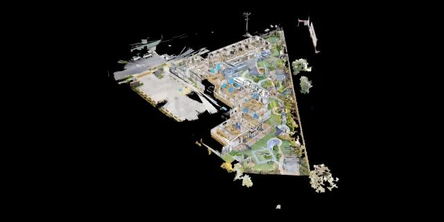 Childcare 3D Virtual Tour | 21 McIntyre St Matterport See how a full 2400 sqm childcare site was captured with a high-quality 3D virtual tour
 -
 AMS Constructions TerryWhite Chemmart Beenleigh 3D Tour Discover how AMS Constructions delivered fast-turnaround Matterport 3D scans for TerryWhite Chemmart Beenleigh, managing multiple sites, tight schedules,
 -
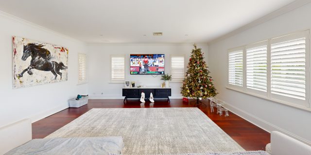 Campbell Architecture | Matterport Scan of Claremont Property 3D Walkabout captured a Matterport scan of a Claremont home, giving Campbell Architecture a digital twin they
 -
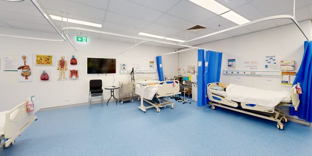 Health Careers International | Virtual Tour of IHNA Brisbane Campus 3D Walkabout captured IHNA’s Brisbane campus using Matterport, delivering a clean, self-guided virtual tour with
 -
 Varsity Cannington Virtual Tour | Matterport for Hospitality Venues We delivered a detailed Matterport tour of Signature Hospitality’s Varsity Cannington, showcasing key feature areas and
 -
 TSA Riley | Matterport Virtual Tour of Aged Care Facilities 3D Walkabout captured fully operational aged care buildings for TSA Riley using Matterport, creating a
Frequently Asked Questions
What is point cloud modelling?
It is the process of converting scan data into BIM models.
What software is used?
Autodesk Revit is typically used.
Can point clouds be converted into BIM?
Yes. This is the basis of Scan to BIM workflows.
How accurate are Revit models from scans?
Accuracy depends on scan quality but is typically millimetre-level.
Do you model MEP services?
Yes depending on project requirements.
How long does modelling take?
Timeframes depend on project complexity.